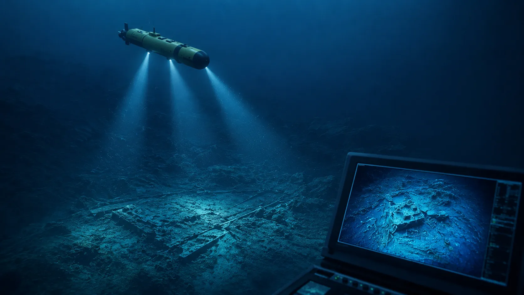
The Drone That Found MH370? How a New Seabed Scanning Technology Mapped 28% of the Missing Search Zone in 6 Days
On March 8, 2014, Malaysia Airlines Flight 370 departed Kuala Lumpur International Airport bound for Beijing with 239 people aboard. Thirty-eight minutes into the flight, the aircraft's transponder went silent. Military radar tracked it deviating westward across the Malay Peninsula, then north up the Strait of Malacca, before it disappeared entirely. In the twelve years since, the search for MH370 has become the most expensive and most frustrating aviation investigation in history. It has covered more than 120,000 square kilometers of the southern Indian Ocean. It has cost hundreds of millions of dollars. It has found fragments of wreckage washed ashore on the coasts of Africa and islands in the Indian Ocean, confirming that the aircraft crashed into the sea. But the main wreckage—the fuselage, the black boxes, the answers that the families of the 239 have been waiting for—has never been found.